
Those of us who live in the Lower Lea Valley have experienced some relatively extreme weather in recent months, but unlike in previous centuries this has not caused the River Lea to burst its banks and inundate us with water. Historical records show that in bygone years the Lower Lea Valley was susceptible to frequent major floods, due to the character of its landscape and because flooding is a natural occurrence for the River Lea.
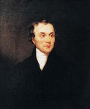
Luke Howard. Photo: The Royal Meteorological Society
Luke Howard (1772-1864) the ‘Father of Meteorology’ who lived at Bruce Grove in Tottenham, recorded that in January 1809, following prolonged heavy snow and then a rapid thaw and heavy rain: ‘The River Lea…channels by which it intersects this part of the country were united in one current above a mile in width which flowed with great impetuosity and did much damage…filled to the depth of eight or nine feet’ and the Lower Lea Valley was flooded for a month. Again in May 1824, Howard writes ‘the marshes still presenting the appearance of a sea, the tops of the trees appearing in places only’.
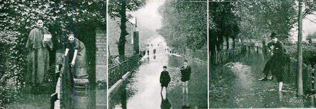
In June 1903, following 59 hours of record rainfall, large areas of North and East London were flooded and the Lea Marshes became a lake. Photos: The Sphere
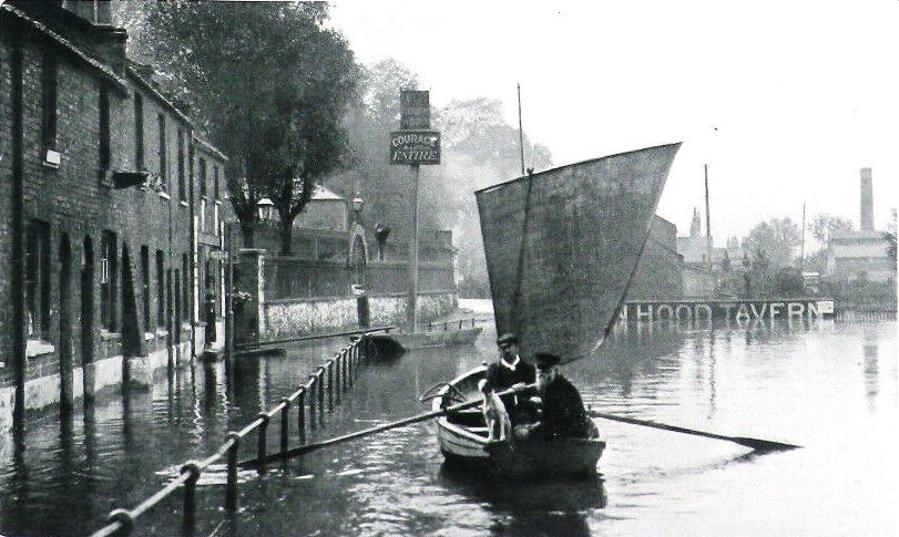
Flooding in June 1903 on the River Lee Navigation at The Robin Hood Tavern, Spring Hill, Clapton. Photo: The Tatler
The worst flood in the recorded history of the Lea Valley happened in March 1947, under very similar conditions to the 1809 flood. The winter of 1946/7 was extremely severe, even freezing the sea along the English coast and continuous heavy snow fell and settled in a thick blanket. Around March 12, the snow began to thaw due to persistent heavy rainfall that couldn’t soak into the frozen ground. The snowmelt caused a high rate of water run-off and all the main rivers of the South of England began to rise rapidly.
By March 13, the River Lea was measured to be flowing at a rate of 156 cubic metres per second at Lea Bridge, which is half a million tonnes of water (or seven million baths) per hour. The River Lea’s flow was 20 times its normal level and the water could not be controlled, so widespread flooding began and water levels didn’t return to normal until March 19.
The River Lea flooded the Metropolitan Water Board’s Lea Bridge Waterworks on March 15, 1947, which shut it down for nine days, the first time it had been shut down in its 200-year history. The floodwaters contaminated the water filter beds and stopped the water pumps from working, which cut off the fresh water supply for about 1.25 million people in East and North London. 1,000 tankers distributed 14 million gallons of drinking water and full water supply was not restored until April 2.
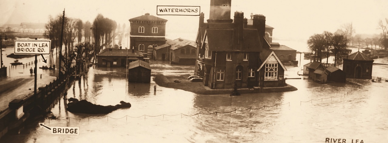
The Lea Bridge Waterworks flooded in March 1947. Photo: Waltham Forest Local Studies Library
Land covering an area the size of 4,000 football pitches was flooded in the Lea Valley and roads were flooded throughout the Lower Lea Valley, including the Lea Bridge Road, where flood water reached a depth of one metre. Hundreds of homes were flooded and many residents were evacuated by boat, while others were left stranded for several days. Transport and communications in the Lower Lea Valley were seriously disrupted for weeks.
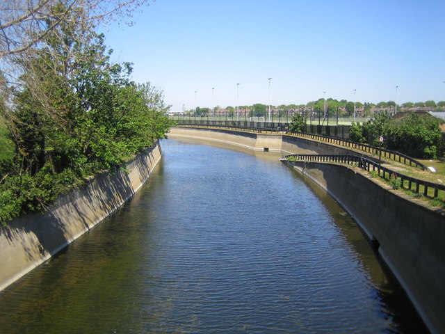
The Lee Valley Flood Relief Channel at Walthamstow. Credit: Nigel Cox CC BY-SA 2.0
The extent of the floods in 1947 and the post-war plans for urbanisation of the Lower Lea Valley, prompted the Lee Conservancy Catchment Board to continue work that had begun before the war, on a flood alleviation scheme for the Lower Lea Valley. The Lee Valley flood relief channel was constructed between 1950 and 1976, using innovative construction techniques to cope with the level of flooding that occurred in 1947, which was calculated to probably occur once every 70 years.
Since completion in 1976, the flood relief channel has been successful in defending the valley from major flooding, although the channel is regularly filled or close to its capacity. However, as extreme weather becomes more frequent with climate change, the risk of flooding can only be reduced not completely eliminated.
Stephen Ayers is a member of Waltham Forest History and Heritage Network. He is also a tour guide and historical researcher researching the history of Walthamstow Wetlands and water supply in East London, the River Lea and the Lea Valley. He is known on social media as ‘Wetlands Steve’ and can be followed on Facebook, Twitter and Instagram or via his website.


Comments: Our rules
We want our comments to be a lively and valuable part of our community - a place where readers can debate and engage with the most important local issues. The ability to comment on our stories is a privilege, not a right, however, and that privilege may be withdrawn if it is abused or misused.
Please report any comments that break our rules.
Read the rules hereLast Updated:
Report this comment Cancel